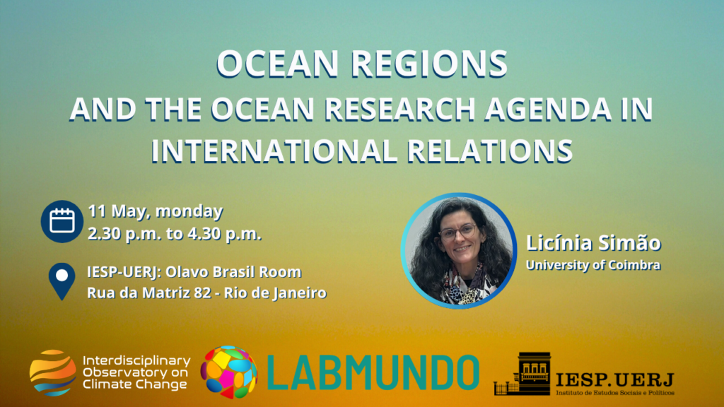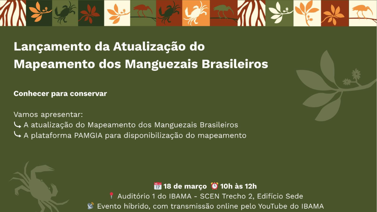
On Wednesday 18 March 2026, the National Secretariat for Climate Change (SMC) of the Ministry of the Environment and Climate Change (MMA), in partnership with the Brazilian Institute of the Environment and Renewable Natural Resources (Ibama), is hosting the unveiling ceremony for the Updated Mapping of Brazilian Mangroves. Between 10am and 12pm, the ceremony will take place in person in Auditorium I at Ibama’s national headquarters in Brasília (DF), with a simultaneous online broadcast via the Institute’s YouTube channel.
Developed with the participation of researchers from the Centre for Mangrove Studies (NEMA/UERJ) and the OIMC, the mapping project is the result of a technical partnership between the Department of Ocean and Coastal Management at SMC (DOceano) and Ibama’s National Centre for Environmental Monitoring and Information (Cenima). The project utilised advanced remote sensing techniques and the support of specialists to consolidate geospatial data that will inform decision-making, monitor the effectiveness of conservation policies, and ensure compliance with the national and international commitments undertaken by Brazil in relation to biodiversity and climate agendas.